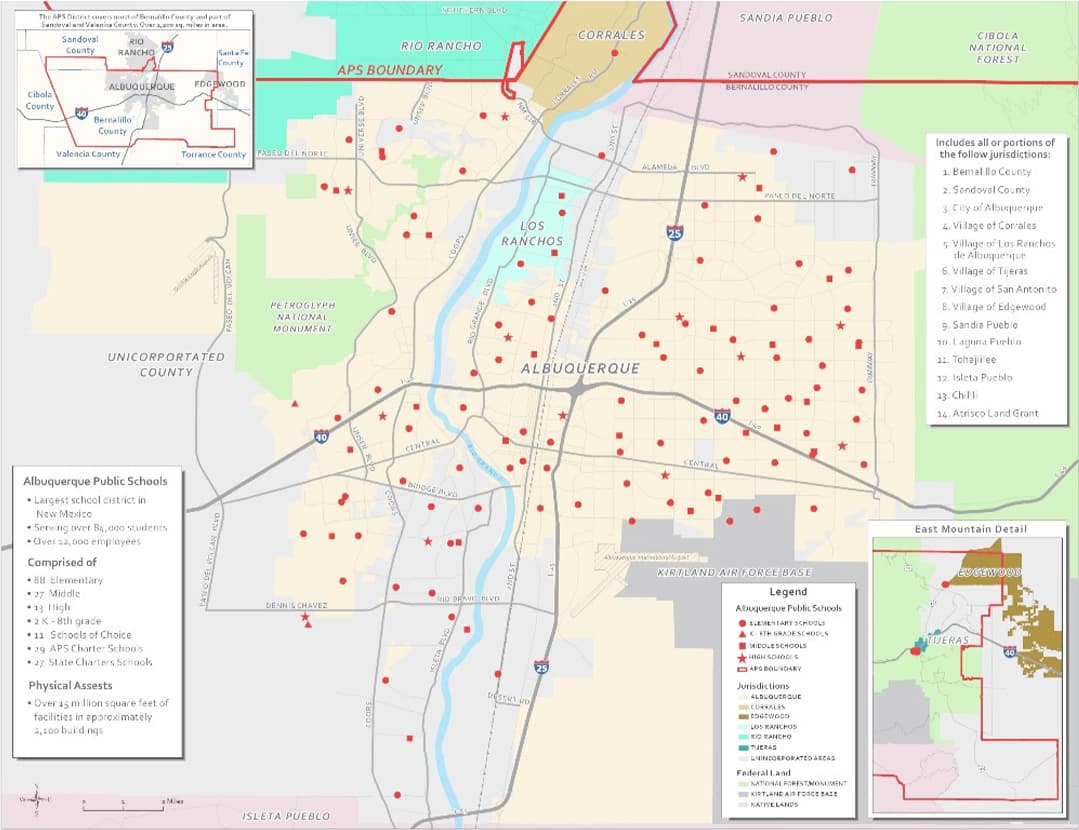
GIS3700 - The geographic portal of Tongeren
City of Tongeren
Get access to interactive maps for urban planning, environmental management, and public safety in Tongeren.

Esri BeLux offers local governments an accessible ArcGIS solution for better management and development of your city or municipality.

ArcGIS can be used by each department individually for a specific use case, as well as for collaboration between departments. Here are just a few examples of how ArcGIS can be applied for a wide range of applications, from urban planning to environmental management.
ArcGIS helps municipalities with efficient spatial planning such as urban development, rural area development, and management of public spaces. This enables them to make better decisions regarding the construction of new facilities, optimization of traffic flows, and development of green zones.
Read more about ArcGIS Hub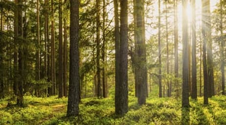 Environmental management and sustainability
ArcGIS helps municipalities map and analyze environmental aspects such as water management, air pollution, and waste management. This promotes sustainable practices, such as identifying suitable locations for recycling centers or monitoring the impact of environmental changes on local flora and fauna.
 Emergency response and public safety
ArcGIS enables municipalities to map risk areas for floods, fires, or other natural disasters. This assists in planning evacuation routes, positioning emergency services, and coordinating relief efforts during emergencies.
 Infrastructure and public works
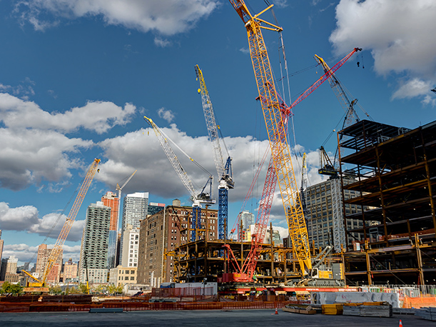
With ArcGIS, local governments can effectively manage the condition of roads, bridges, sewers, and other infrastructure elements. This contributes to better maintenance planning, cost savings, and reduced inconvenience for citizens by planning work more efficiently.
 Citizen engagement
ArcGIS is used to create interactive maps and apps that the public can access, such as maps showing where new projects are planned, as well as apps for citizens to report issues like potholes or broken streetlights. It also enables the public to provide valuable feedback.
GIS3700 - The geographic portal of Tongeren
City of Tongeren
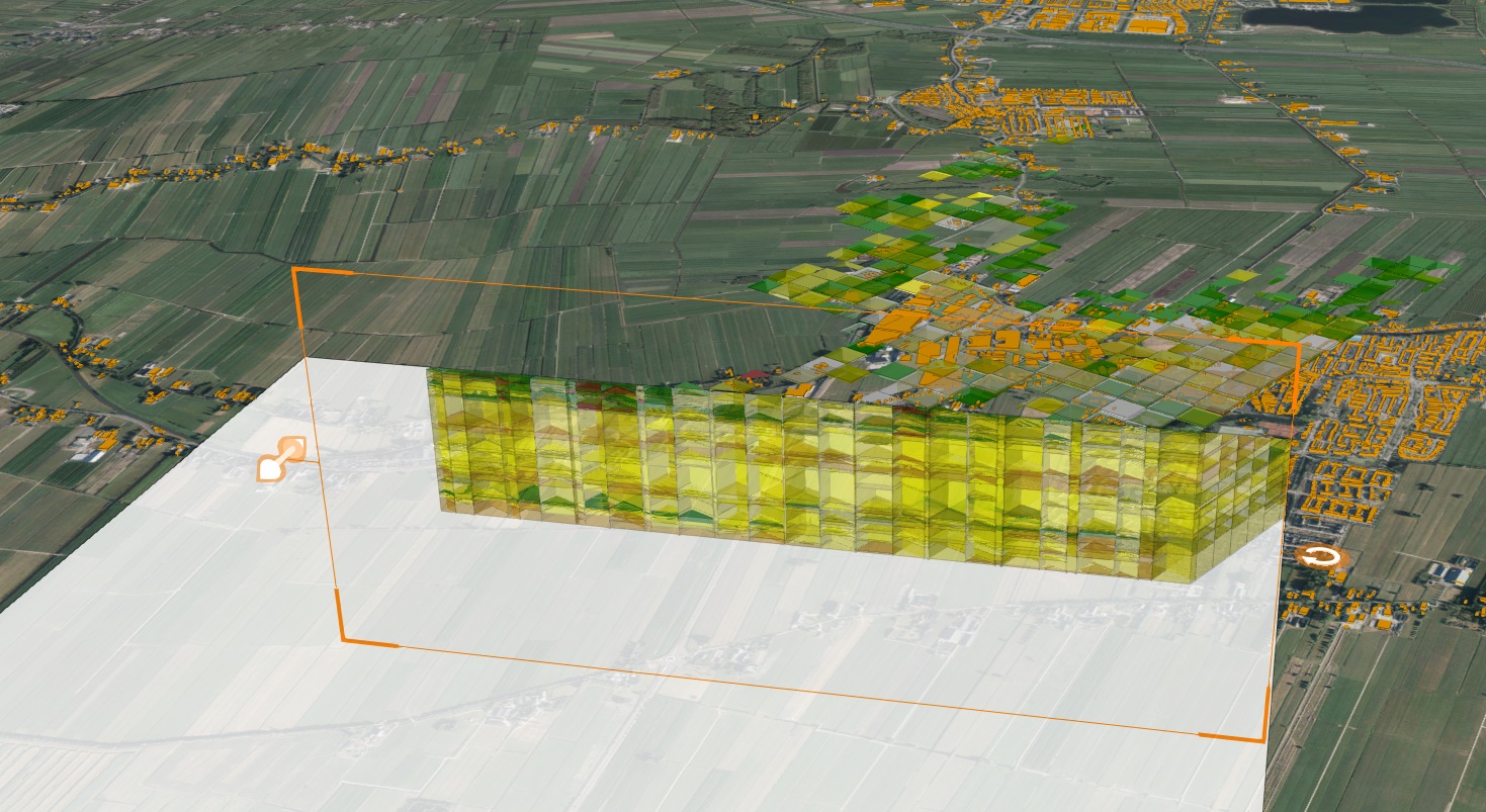
Environmental permits and public inquiries
City of Ostend

Easily find burial locations online in Gistel
City of Gistel
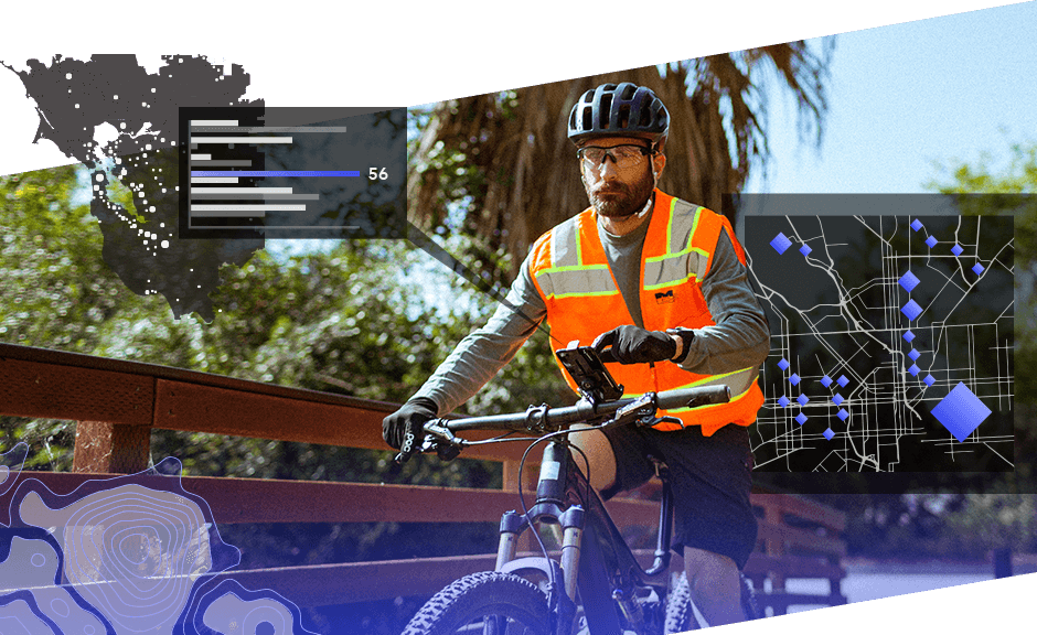
A layered cycling route network in East Flanders
Province of East Flanders
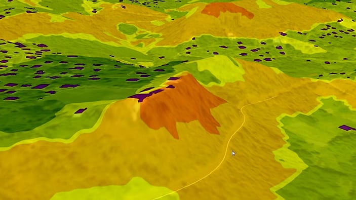
Koksijde maps its nature reserves and green spaces
Municipality of Koksijde
Not a member yet?
Email us at marketing-team@esribelux.com to gain access!
Questions about buying ArcGIS, pricing or need support? Email us at solutions@esribelux.com
Visit our support page
Speak with a representative