
Mapping tool supports marine protection
Government agencies in Canada partnered to launch the Canada Marine Planning Atlas, an interactive web map supporting marine spatial planning.

Beyond navigational charts
An extension for ArcGIS Pro and ArcGIS Enterprise
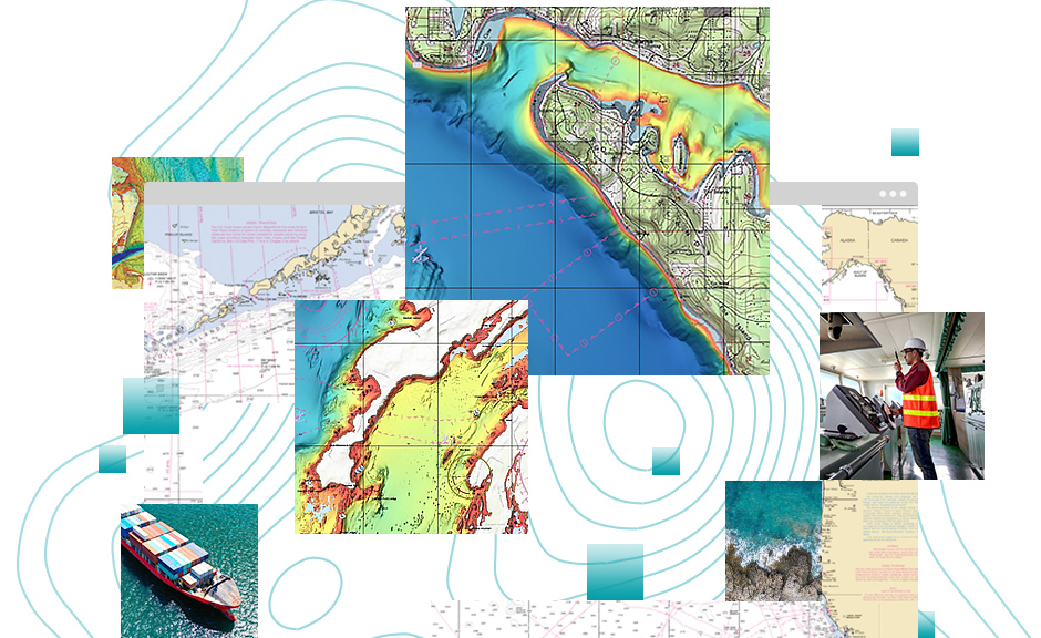
ArcGIS Maritime capabilities benefit a large audience, including hydrographic offices and subcontractors, data scientists, nontraditional chart producers, and port authorities. It also supports offshore energy companies and regulators, maritime defense and national security agencies, and marine spatial data infrastructure (MSDI) initiatives.
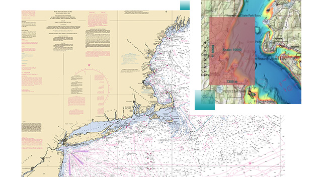
Geoprocessing tools automate the management, creation, and validation of IHO S-57 and IHO S-100 product specifications.
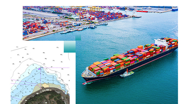
Validate IHO S-57 Electronic Navigational Charts using the latest IHO S-58 validation standards.
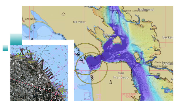
Generate OGC WMS and REST map services directly from the latest electronic charts with the Maritime Chart Service.
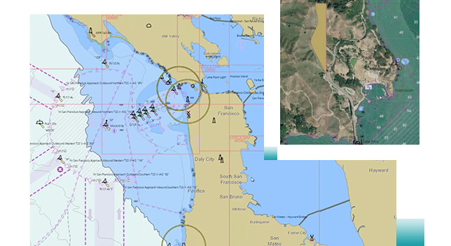
Produce vector PDFs for printed paper charts directly from the latest Electronic Navigational Chart data.
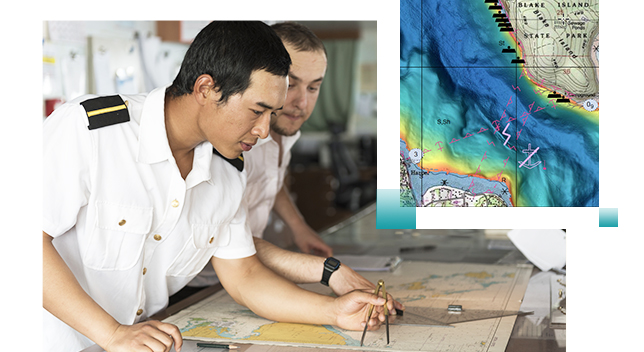
Build a Marine Spatial Data Infrastructure (MSDI) with data management and sharing capabilities.
Mapping tool supports marine protection
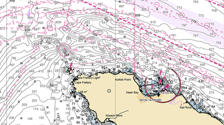
NOAA custom chart 2.0 now available
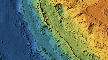
What’s new in ArcGIS Maritime
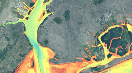
Satellite derived bathymetry (SDB) webinar
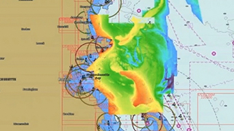
UKHO continues online chart service rollout

Realize the value of your bathymetric data by adding ArcGIS Bathymetry to your maritime portfolio.
Explore ArcGIS BathymetryTake advantage of data visualization, advanced analysis, and authoritative data maintenance with ArcGIS Pro, a next generation desktop GIS.
Explore ArcGIS ProPower your location intelligence by organizing and sharing your work on any device, from anywhere, at any time.
Explore ArcGIS EnterpriseStart a conversation online.
Speak with a representative.