Data Visualization
Make an impact with interactive 2D and 3D maps
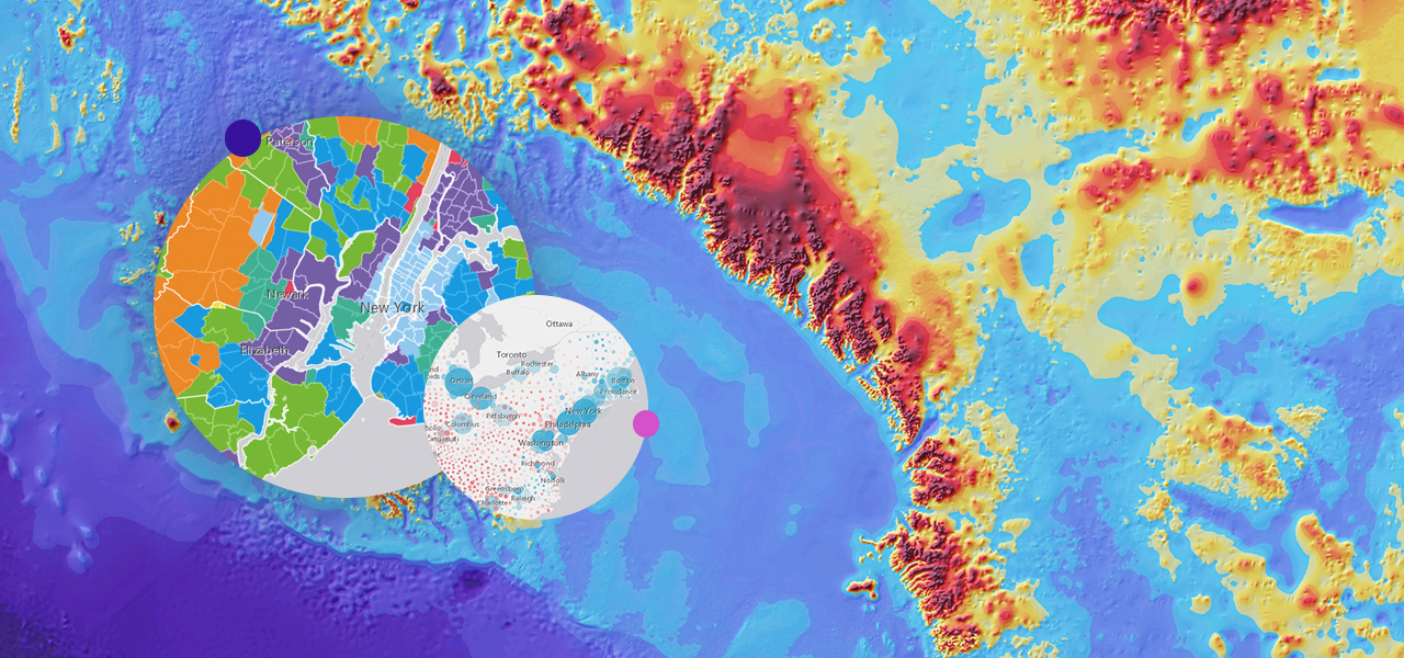
2D visualization
Incorporate beautiful 2D visualizations into your applications. Style your maps with thousands of features and visualizations based on multiple variables.
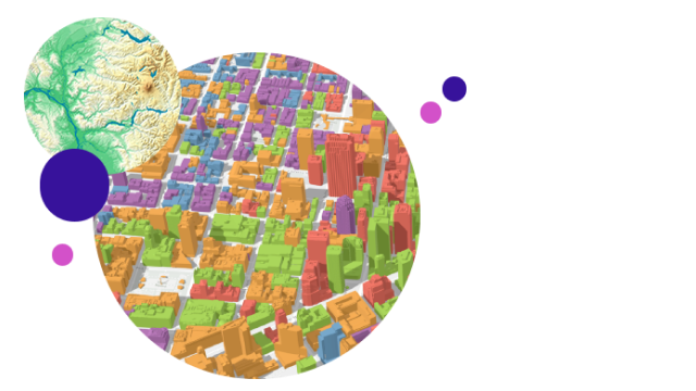
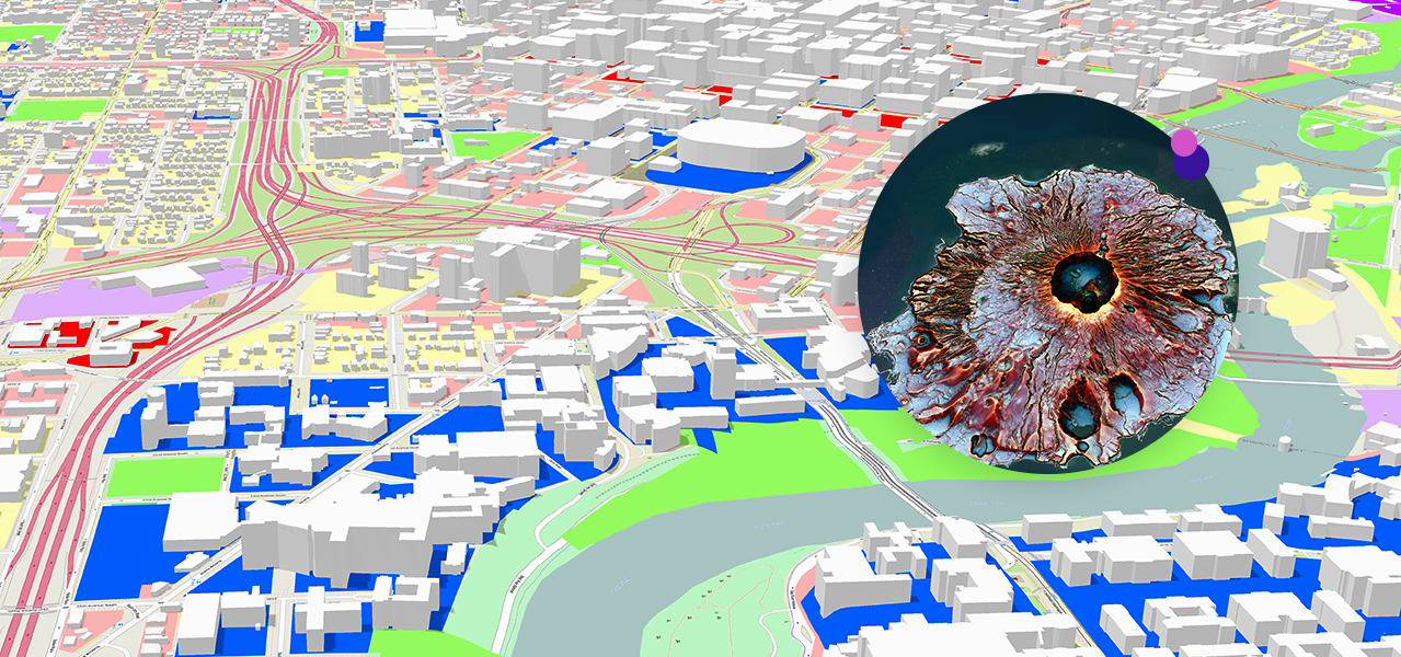
3D visualization
Visualize your data in its real-world 3D context through 3D models of buildings, landscapes, cities, or even the entire globe.
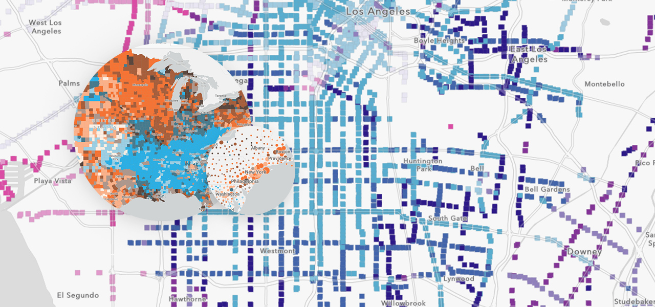
Smart mapping
Use your data to quickly create beautiful and informative maps. Smart mapping takes advantage of data-driven styling and intelligent defaults that are tailored to your data to help eliminate the guesswork when setting your map properties.
Unlock the power of ArcGIS Location Platform
Create your account and take advantage of the free tier to access all the features and services of ArcGIS Location Platform. Then, pay only for what you consume with Esri’s pay-as-you-go model.