Wat is een digital twin?
Het spiegelen van de echte wereld met GIS
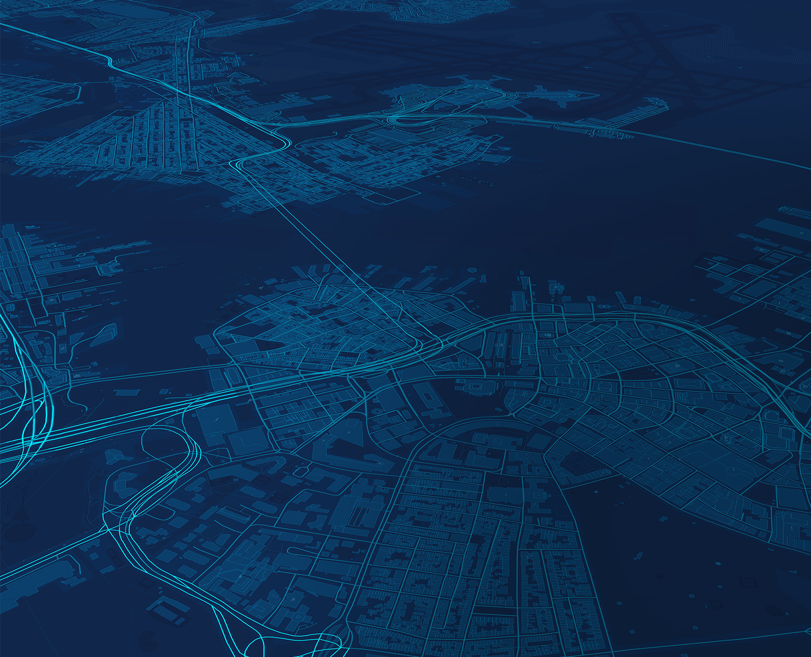
Een digital twin is een virtuele weergave van de werkelijkheid, inclusief fysieke objecten, processen en relaties. Wanneer deze is gebaseerd op geografie, wordt het een geospatiale digital twin.
Geospatial
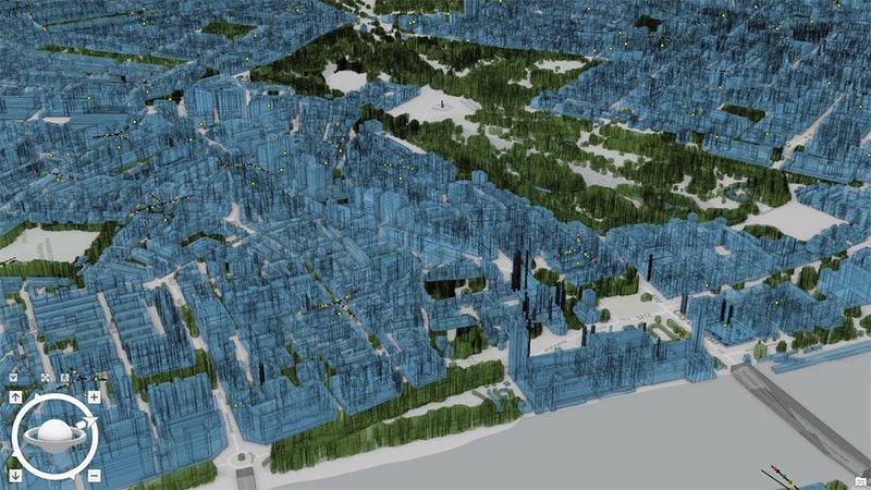
Accurate representations of complex systems require robust maps and spatial analytics from geographic information system (GIS) technology.
Time aware
GIS-based digital twins go beyond 3D models as they reflect change over time—showing historic, current, and future states.
Scalable
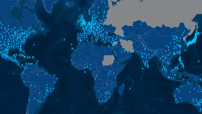
From single facilities to large built and natural systems, geospatial digital twins scale to meet changing needs.