Get started with ArcGIS Online
This beginner level tutorial will help your students develop the skills to be successful with modern digital mapping applications.

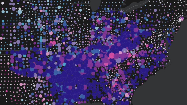
Teach with GIS and bring interactive maps to your classroom
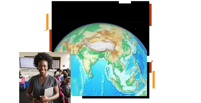
Investigate the world using 2D and 3D maps. Use curated and standards-based map content that supports your existing curriculum. Use National Geographic MapMaker to create your own maps and share them with your students.
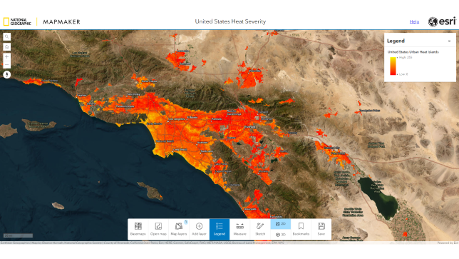
Enhance student learning with easy-to-use, inquiry-based activities that cover a wide range of subjects. With GeoInquiries, you can use maps to teach content standards in an engaging way.

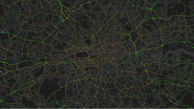
Set your students on meaningful and rewarding career paths. GIS technology opens up a world of opportunity for your students.
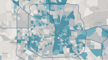
Let your students dive into topics with solo and collaborative projects. Use GIS to explore questions, generate data, and build maps to solve problems.
Get started with ArcGIS Online

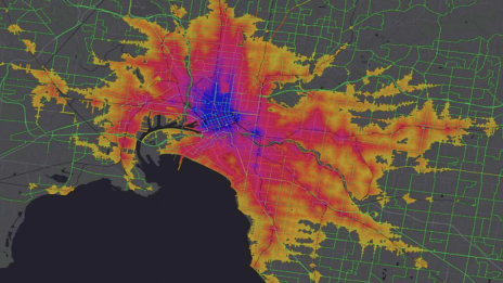
Explore spatial analysis
ArcGIS StoryMaps tutorials

ArcGIS for schools
GeoProjects
Essential ArcGIS Online skills

ArcGIS Survey123 tutorial
Bądź na bieżąco z najnowszymi lekcjami, wiadomościami i najważniejszymi wskazówkami dotyczącymi systemu GIS w zakresie nauczania z użyciem technologii geoprzestrzennej.