ArcGIS Instant Apps
Fourni avec les types d’utilisateurs ArcGIS
Créez rapidement des applications Web pour faciliter l'interaction avec vos cartes et données.
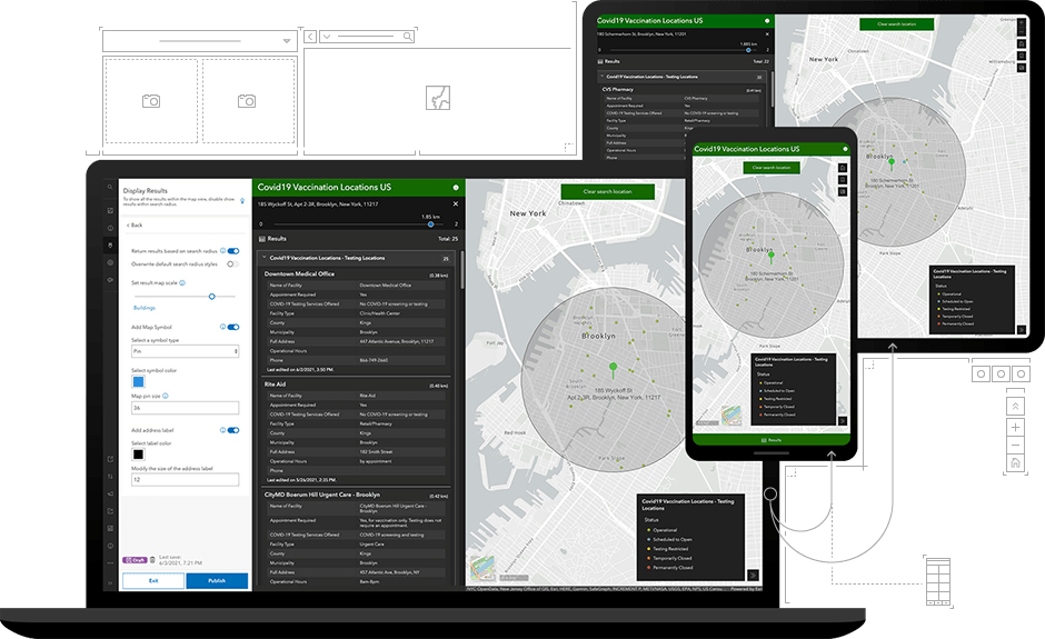
Powerful capabilities and simple authoring
How it works

Focused templates to address your audience's needs
Choose a template to provide a focused experience for people using your map. The interface also guides your selection based on your map's components, such as pop-ups, symbolization, and attachments. Explore some popular Instant Apps templates.
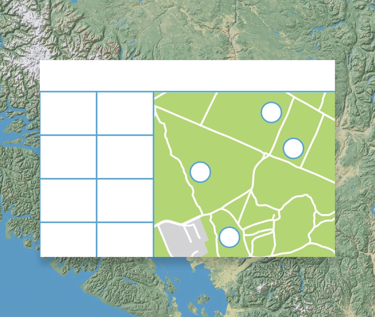 Attachment Viewer
Present photos, videos, and PDF files stored as attachments in a map-focused or attachment-focused layout. Enable feature selection and search to allow users to navigate your data. Allow users to download attachments and zoom in and pan around the map.
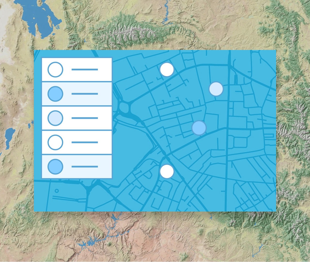 Interactive Legend
Filter data based on items in your map legend. Enable the help panel to provide guidance on how to use the app. Allow users to capture images of your map with the Screenshot tool. Configure a URL parameter to open your app to a predefined view.
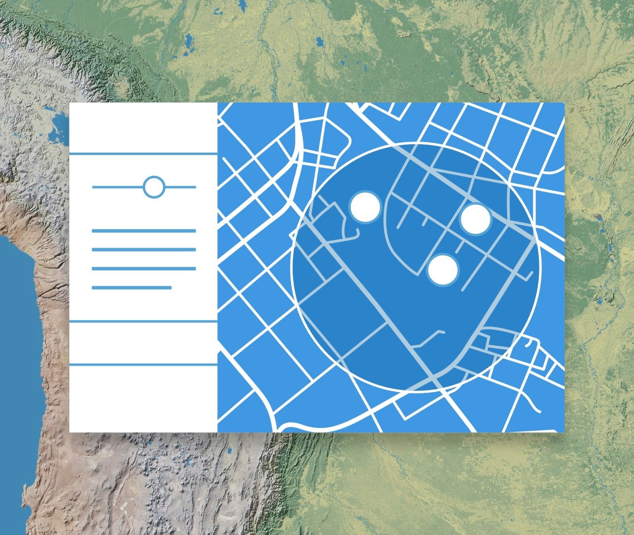 Nearby
Guide viewers to points of interest based on a location search and provide directions. Set a range for the distance slider that will be used to define the search buffer. Enable the Screenshot tool to allow viewers to capture images of the map with search results.
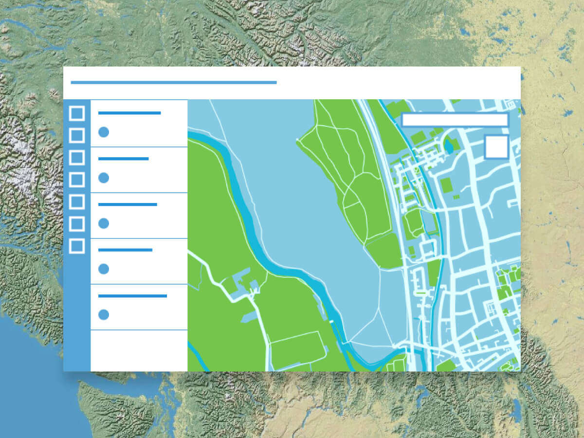 Sidebar
Include a set of tools that allow viewers to interact with and update data. Editing tools enable viewers to update and add features, while filters provide more information about the data. Use bookmarks and map tools to allow viewers to explore.
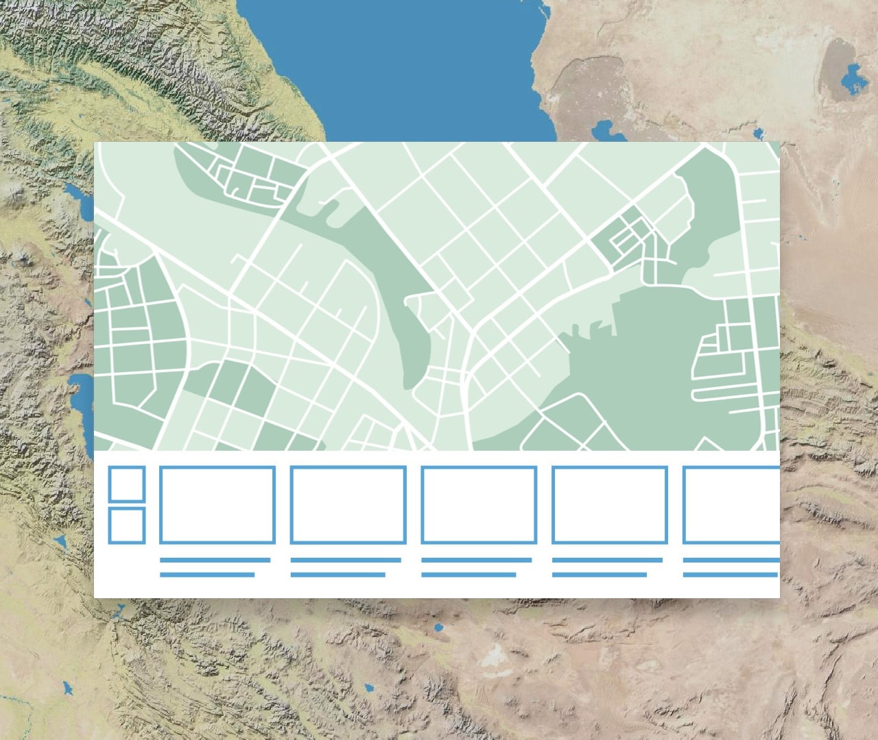 Portfolio
Showcase different types of content all in one place. Create and reorder various sections that app viewers can navigate to view maps, apps, scenes, layers, and other content. App viewers can navigate through sections and highlight relevant content.
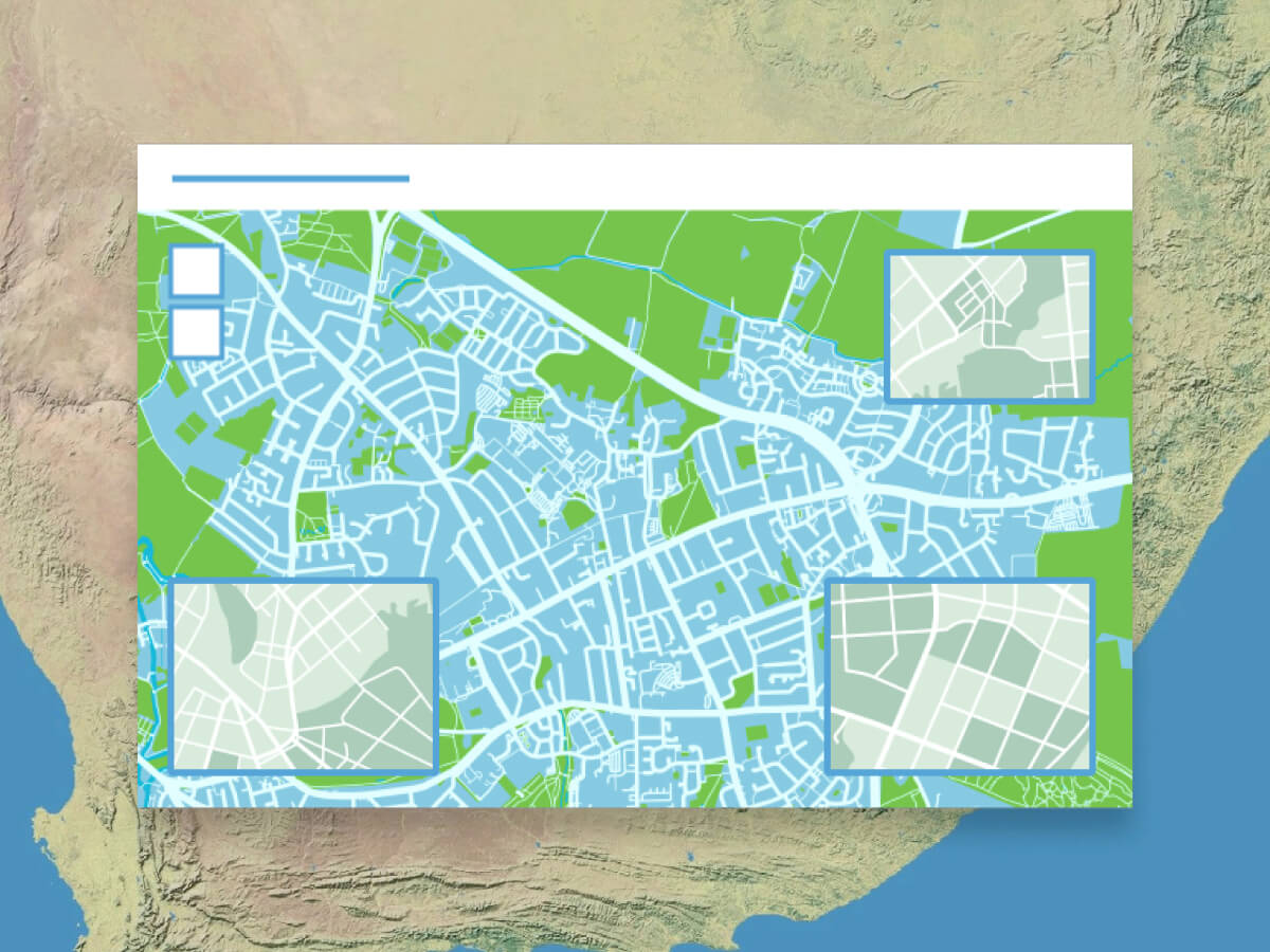 Insets
Display noncontiguous geographies and interact with data at multiple locations in a single app. Pick from a list of predefined geographic layouts or customize the inset locations with the option to use bookmarks from the map. Apply theming by picking an inset style and adding title headers.
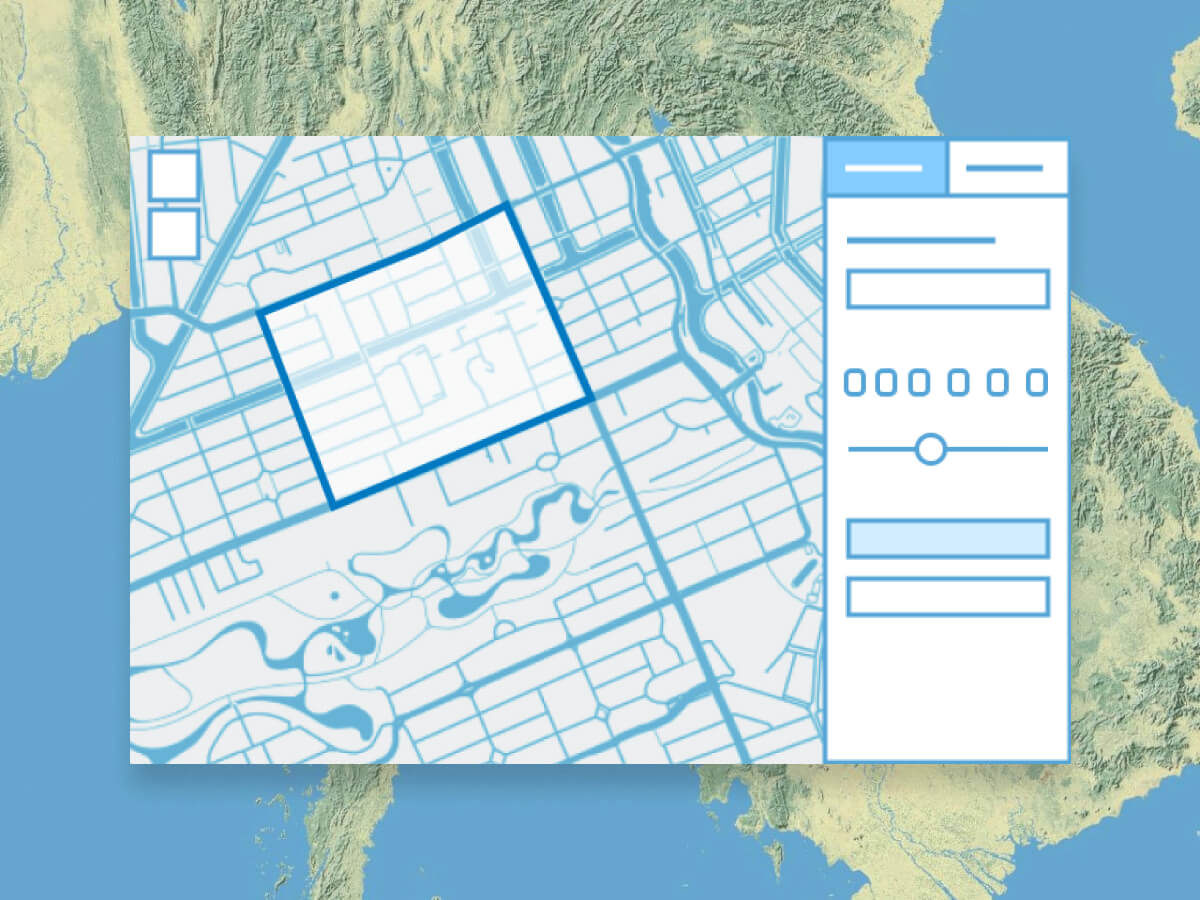 Public Notification
Create a list of features using a map that can be exported as a CSV or PDF file. Search for a single location or draw an area of interest using sketch tools to define a set of features. Use the geometry of an existing feature or apply a search buffer to expand the resulting features used to create the list.
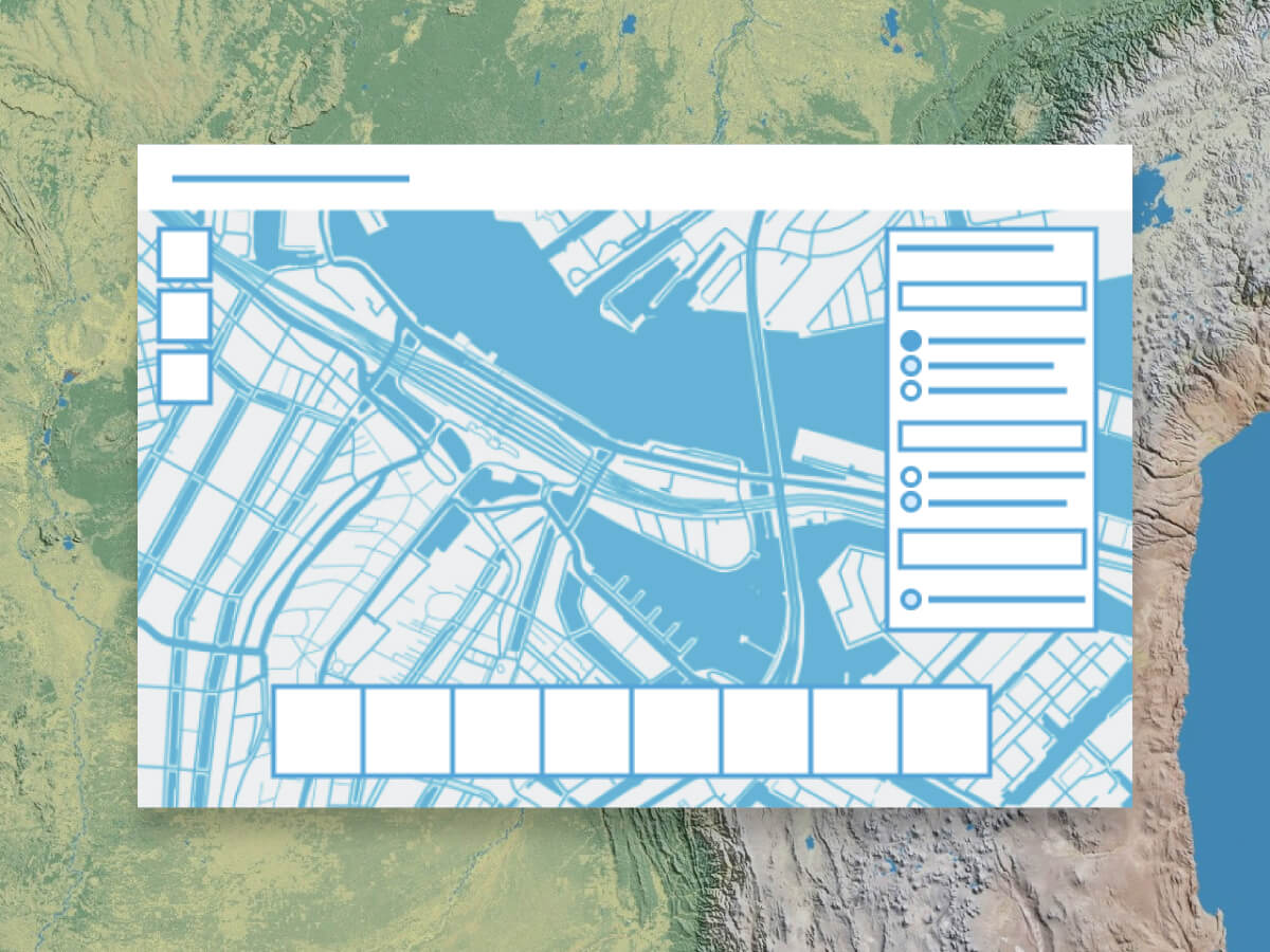 Atlas
Discover, view, and explore a collection of maps and layers curated by an organization. Interactively measure distance, area, and elevation profiles; switch between 2D and 3D; compare layers with swipe and transparency tools; and more. Share the maps you create by exporting a PDF file or screenshot.
Get started with ArcGIS Instant Apps
Instant Apps comes with several Esri product licenses including the Creator user type, the GIS Professional user type, and ArcGIS Enterprise. Learn more about these licensing options and their pricing.

ArcGIS Online
Collaboratively build maps and apps, perform spatial analysis, collect data, and share your work through ArcGIS Instant Apps.
Explore ArcGIS OnlineArcGIS Pro
Build advanced maps, visualizations, and analyses. The GIS Professional user type includes ArcGIS Pro and full access to ArcGIS Online and ArcGIS Instant Apps.
Explore ArcGIS ProArcGIS Enterprise
Make maps, analyze geospatial data, and share results with stakeholders through ArcGIS Instant Apps, all on infrastructure you control and manage.
Explore ArcGIS EnterpriseNeed more information?
Email us
Questions about buying ArcGIS, pricing or need support? Email us at solutions@esribelux.com
Contact customer support
Visit our support page
Call us
Speak with a representative